Introduction to navigation for cyclists: why is it important to know where you are going?
One of the greatest joys of cycling is discovering new places. The lure of hidden paths or uncharted tracks that promise unknown adventures is always tempting. Trying new routes keeps cycling trips interesting and dynamic. Sometimes it’s fun to let your imagination run wild and head off into the unknown, but if you want to get home on time, it’s crucial to know where you are and how to get back.
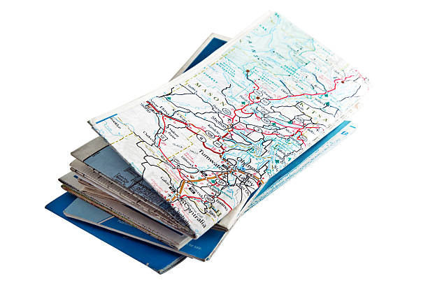
In the digital age, there are a variety of options for navigating while driving. Paper maps remain the most reliable, as they are not dependent on battery life or mobile signal. However, using a smartphone or GPS device has the advantage of being able to easily check your route on the handlebars without having to stop, making for a smoother ride.
Paper maps: classic reliability
Despite the development of digital technology, paper maps retain their value, especially in specific cycling scenarios.
Advantages of paper maps:
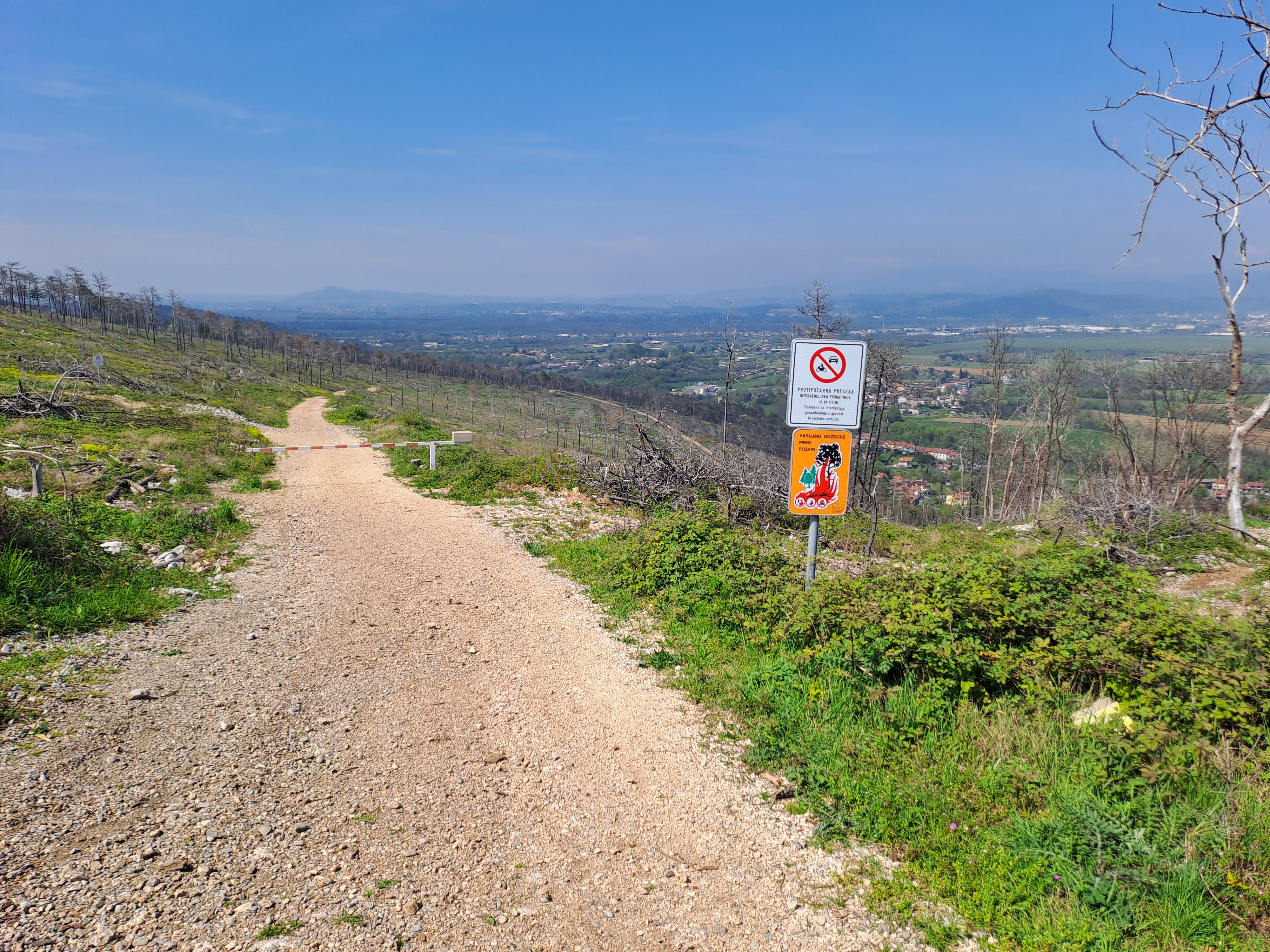
- Reliability in remote areas: They are independent of power or mobile signal, which is crucial on long tours and in remote areas without charging stations or a network.
- Wider field of view: They allow for a wider field of view, making it easier to adjust your route on the fly. This is ideal for cyclists who like to improvise and explore side trails.
- Contextual understanding of the route: Provides insight into the broader context of the route, helping you discover points of interest such as historical ruins, waterfalls, or panoramic views that you might otherwise miss.
- Additional information: Specially designed maps for long cycling routes often contain useful information about service points, accommodation, water sources and points of interest along the route.
Types of maps:
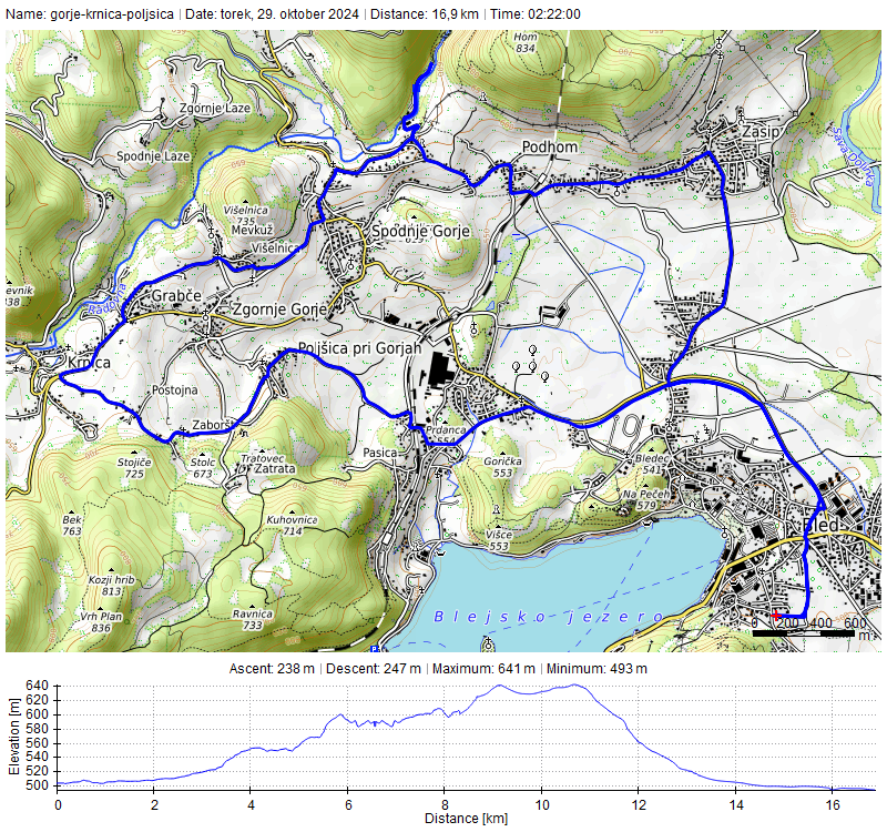
For off-road cycling (mountain biking, gravel) in the UK, Ordnance Survey (OS) maps are the most detailed and accurate for showing routes, rights of way, other access routes and terrain. Similar detail and accuracy is offered in Slovenia by national topographic maps at a scale of 1:25,000 (e.g. Geodetic Administration of the Republic of Slovenia – GURS) , which are essential for orientation in mountains and forests.
- Scale 1:50,000 (e.g. OS Landranger): This is the best scale for off-road cycling, as it provides enough detail about the terrain and trails. For Slovenian conditions, tourist maps covering a specific area are comparable.
- Scale 1:250,000 (overview maps): For longer road trips, a clear map showing all major roads and important routes may be sufficient. Clipping out relevant pages from a road atlas can also be useful for travel.
- Sustrans maps (for the UK): In the UK, Sustrans are well-known specialist cycling maps that are optimised for cycling. They show less detail than OS maps, allowing for quick route identification while riding. They often also include additional information about cycle shops and points of interest. In Slovenia, there are similar maps for individual cycle routes, e.g. Drava Cycling Route or Parenzana , which are available from local tourist offices.
Map reading tips:
- Map preparation: Unfolding a large map while riding can be cumbersome, especially in bad weather. The solution is to print out A3 or A4 sheets of the areas you cycle most often (e.g. from online portals such as Geopedia for Slovenia, which provides access to orthophotos and topographic maps), fold them and store them in your pocket. There are also map pouches that attach to the handlebars.
- Orientation in case of loss: If you get completely lost (it happens!), try to find a crossroads and check the shape and direction of the roads or paths. If there is a signpost, you can use the names of nearby villages to determine which crossroads it is.
- Using terrain for orientation: Find a point without obstacles where you can see the shape of the surrounding landscape. How high are you? Can you see a river or a main road as a reference point and estimate your proximity? In this case, it is useful to have a phone as a backup option to confirm your location.
- Using a compass: If your route takes you across open plains, moors, or through dense forest areas where you may lose your bearings, it is a good idea to carry a compass. If you are unsure which way you are facing, align the vertical lines on the map with the north arrow on the compass to reorient yourself. Remember that the metal frame of a bicycle can affect the magnetism of a compass, so do not hold it close to the handlebars.
- Order/purchase maps of Slovenia
Smartphone apps: digital convenience
Smartphone apps have become an indispensable part of cycling navigation, offering numerous advantages and functionalities.
Advantages of smartphone apps:
- Turn-by-turn navigation: Many apps offer detailed turn-by-turn directions, which is extremely convenient because you don’t have to constantly check the map.
- GPS navigation test: They are a great way to test GPS navigation before you decide to buy a specialized cycling GPS device.
- Easy route planning: You can usually plan your route in the web version of the app and then download it directly to your phone, without the need to transfer files to a separate device.
- Route adjustment while driving: If you need to change your route while driving, apps quickly show you distances to alternative destinations and help you find a new route.
- Portability: For long tours, a phone is much more portable than multiple paper maps.
Types of navigation apps:
There are many different options available with a variety of features. Be careful with apps that allow you to download maps or routes for offline use, as this will help prevent blank screens when you lose signal.
- cycle.travel: A route planning tool that strives to find the most enjoyable cycling routes, with a focus on quieter roads, more beautiful scenery, and clear directions.
- RideWithGPS: Offers a simple online route planner, and your route is then instantly displayed in the app on your phone. It allows for detailed ride analysis and import/export of GPX files.
- Komoot: A popular route planning tool that suggests routes based on your preferences and routes planned by other users nearby. Routes can also be opened directly in the app.
- OSMAnd and Maps.Me: These are navigation-only apps and don’t have a website for route planning. This means you have to take the extra step of downloading a route file and importing it into the app. Both have detailed background maps and allow you to download map regions for offline use. Organic Maps is very similar to Maps.Me, but has a cleaner, ad-free interface. The advantage of Maps.Me and Organic Maps is that you can download unlimited regions for free—the only slight complication is that they use KMZ files instead of GPX, so you’ll need to convert the file with a tool like GPS Visualizer after you’ve planned your route . If you email yourself a KMZ file, open the email on your phone, and tap the file, it should open directly in the app and appear on the map.
- OutdoorActive and OS Maps: These provide detailed OS maps on your phone after you pay for a subscription. OutdoorActive lets you pay to download map areas, while a premium subscription to OS Maps gives you access to maps for the entire country. Both apps show your route on a map, but they don’t offer turn-by-turn navigation.
Tips for navigating with your phone:
- How to use it: There are two ways to navigate with apps. If the route is fairly easy or you know the area well, you can keep your phone in your pocket and check it periodically like a paper map. If the route is new with lots of twists and turns, it’s recommended to mount your phone on your handlebars and use sat-nav-style navigation. Be aware that this will drain your battery quickly, especially if you’re also using an app like Strava to track your ride.
- Battery Saving: A compromise to save battery is to temporarily disable the PIN or screen lock on your phone while riding, so you can mount it on your handlebars and use a single button to turn the screen on and off as you approach intersections to check your directions. You can also use portable power banks, especially on longer rides.
GPS devices: a specialized solution for cyclists
Specialized GPS devices designed specifically for cycling offer robustness, long battery life, and advanced features.
Advantages of GPS devices:
- Turn-by-turn navigation: Like phone apps, GPS devices offer precise directions.
- Ruggedness and long battery life: They are more rugged than smartphones and have a longer battery life, which is essential for long rides and multi-day tours. They are resistant to water, dust and shock.
- Recording ride statistics: In addition to navigation, they also record data about your ride, such as distance, speed, ascent, and calories burned. Many devices allow you to connect to external sensors (heart rate, cadence, power).
- Using buttons: Buttons are easier to use than a touchscreen, especially if you’re wearing gloves or it’s raining.
Types of GPS devices:
There are big differences in functionality and price, so it’s important to do your research before you buy. Consider screen size and resolution – if you’re mostly on the road, a simple “breadcrumb trail” map may be enough, but if you’re venturing off-road, you may want the option to display a more detailed map. GPS device benchmarks, such as those published by cycling blogs (e.g. DC Rainmaker ), can give you a good idea of what to look for.
Most bike computers will also record statistics about your ride, such as distance, speed, and elevation. If you’re a fan of numbers, some also connect to external sensors, such as a heart rate monitor or cadence sensor.
Tips for navigating with a GPS device:
Once you’ve planned a route, you’ll need to transfer it to your device. Many GPS computers sync with an app on your phone, or you can plug them into your computer to transfer the file. For more tips, check out our GPS and route planning guides. GPX (GPS Exchange Format) files are commonly used , which is a standard for storing routes, tracks, and waypoints.
Comparison of navigation tools
| Property | Paper maps | Smartphone apps | GPS devices for bicycles |
|---|---|---|---|
| Reliability | High (battery/signal independent) | Battery and signal dependent | High (long battery life, robustness) |
| Area overview | Excellent (broader context) | Good (possibility to narrow/expand view) | Good (possibility to narrow/expand view) |
| Details | Excellent (depending on the criterion) | Excellent (depending on the app and map) | Excellent (depending on device and map) |
| Preparing the route | Hand drawing/marking | Easy (online planners) | Simple (online planners, synchronization) |
| Route adjustment | Medium (requires stopping) | High (fast redirection) | High (fast redirection) |
| Price | Low to medium | Often free basic features, pay for premium | Medium to high |
| Weather resistance | Poor (needs case) | Medium (depending on phone and case) | High (designed for outdoor conditions) |
| Additional features | Local information, attractions | Statistics, sharing, integration with Strava | Statistics, connection to sensors, training |